
About Karmuwala
Karmuwala, a charming village on the banks of the Beas River in Chohla Sahib Tehsil, Tarn Taran District, Punjab, India, has a rich history and a close-knit community of around 600 residents. This idyllic village is a testament to the enduring spirit and cultural heritage of its people.
Historical Background: Karmuwala originated from Patti Karmu, part of the village Gharka, which was established in the early 16th century. The area became a distinct village in the mid to late 19th century when villagers moved closer to their lands. In 1998, the Gram Panchayat Karmuwala was formed, separating from Gram Panchayat Gharka, although both share the Hadbast number 352. Despite this administrative change, land records are still maintained under Gharka’s jurisdiction.
Geography: The village lies at the geographic coordinates of 31.2292° N and 75.0521° E. It is surrounded by lush green fields and the Beas River, providing a picturesque landscape that is characteristic of the region.
Visual Content: Explore our Photo Gallery to experience the picturesque beauty and significant landmarks of Karmuwala.
Purpose
Historical Exploration: Dive into Karmuwala’s journey from its humble beginnings to its vibrant present-day community, and discover the notable personalities who have shaped its legacy.
Community Involvement: Help preserve our community’s rich history by sharing your stories, photos, and memories. Contribute to building a comprehensive family tree and documenting our heritage. If you wish to collaborate or contribute, please email us at [email protected].
Call-to-Action
Join us in this endeavor to keep Karmuwala’s legacy alive. Engage with our community, share your insights, and help us document the fascinating history of our beloved hamlet.
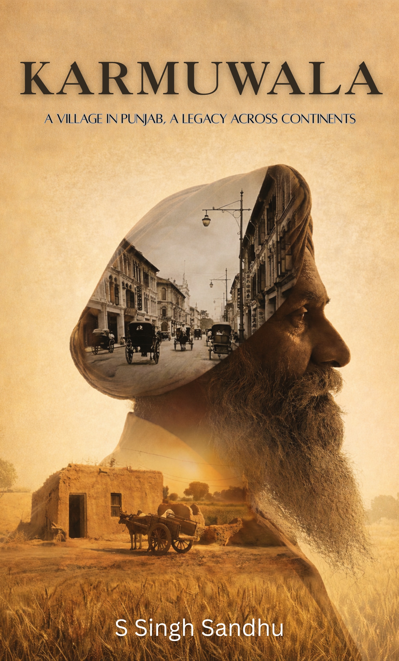
Karmuwala: A Village in Punjab, A Legacy Across Continents
Karmuwala follows one Punjabi village through empire, partition, and global migration, blending oral history with maps and archival records. Read the story, explore the sources, and see how a small place can shape generations.
View on AmazonMaps of Karmuwala
| Title | Address | Description |
|---|---|---|
Karmuwala | karmuwala, ਕਰਮੂੰਵਾਲਾ, Punjab 143408, India |

Map of Punjab (1835)
From a map copied by Sheikh Kadem Ali in 1835 from a survey done in 1835, it is possible that Keraiwalee in the top right refers to the Karmuwala village. Modern day Harike (Hurreeke) village is clearly visible and is a good reference point together with Doom (modern day Dhun village). Other reference points: Cumbo (Kambo Dhaiwala) and Chubba (Chamba Kalan)

Map of Punjab (1844)
The point labelled as Goorka in the middle clearly refers to the Gharka village. Modern day Harike (Hurreeke) village is clearly visible and is a good reference point together with Bhynee (Chola Sahib) and Goindwal.